If outdoor access is high on your list, Huntersville stands out for a simple reason: you do not have to choose between lake time and daily trail access. Whether you picture mornings on a greenway, weekends on Lake Norman, or a home base near both, Huntersville offers a practical mix of water, trails, and residential options. This guide breaks down the lake access points, the greenways that matter most for everyday life, and the housing patterns that support this lifestyle. Let’s dive in.
Why outdoor living matters in Huntersville
Huntersville’s outdoor appeal is not built around one park or one destination. It is tied to a wider Mecklenburg County system that gives you access to water, paved trails, urban connectors, and nature preserve routes across the area.
According to Mecklenburg County Park and Recreation’s greenway system overview, the county’s March 2026 inventory includes 85.5 miles of greenway trails, 25.9 miles of greenway access trails, 30.4 miles of urban trails, and 76.2 miles of nature preserve trails. The county describes greenways as linear parks that connect people and places for recreation, transportation, and fitness.
That matters if you are thinking beyond weekend recreation. In Huntersville, outdoor living can become part of your regular routine, from walking to nearby amenities to launching a kayak after work.
Lake access near Huntersville
Blythe Landing Park
For Lake Norman access in Huntersville itself, Blythe Landing Park is the clearest starting point. Mecklenburg County lists it at 15901 NC Highway 73 in Huntersville and notes that it includes six boat ramps, 218 trailer parking spaces, a playground, and picnic areas.
This is not a small, occasional-use launch point. It is a major access site that supports regular boating and paddling activity, which makes it especially relevant if you want lake access to feel like part of daily life instead of a special trip.
The same county page notes that Lake Norman Community Sailing operates there and offers sailing classes and memberships for sailing, kayaking, and paddleboarding. If you want structured access to the water, that adds another layer of usability.
What Blythe Landing offers
- Six boat ramps
- 218 trailer parking spaces
- Playground
- Picnic areas
- Sailing, kayaking, and paddleboarding opportunities through on-site programming
Ramsey Creek Beach
Just south of Huntersville in Cornelius, Ramsey Creek Beach is another important north Mecklenburg lake amenity. While it is not in Huntersville proper, it is a nearby option that expands the kind of waterfront access available to local residents.
Mecklenburg County describes Ramsey Creek Beach as a 46-acre waterfront beach on Lake Norman with swimming, boat launching, docks, picnic shelters, nature trails, a fishing pier, an enclosed dog park, and a volleyball court. That range of uses makes it especially helpful if your ideal outdoor day includes more than just boating.
For some buyers, this kind of nearby amenity helps define lifestyle fit. You may want a Huntersville address while still being close to multiple ways to enjoy the lake.
Latta Nature Preserve
If your version of water access leans more toward paddling and nature-focused recreation, Latta Nature Preserve offers a different experience on Mountain Island Lake. Mecklenburg County says the preserve has two launch options for canoes, kayaks, and stand-up paddleboards.
The county also notes that Quest at Latta is open daily and that Latta includes 15 miles of equestrian trails. For buyers who want both water access and a broader outdoor setting, this gives Huntersville another strong option beyond Lake Norman.
Best fit by activity
| Access point | Best for | Key features |
|---|---|---|
| Blythe Landing Park | Boating and frequent lake access | Six boat ramps, large trailer parking, picnic areas |
| Ramsey Creek Beach | Waterfront variety | Swimming, fishing pier, boat launch, trails, dog park |
| Latta Nature Preserve | Paddling and nature access | Canoe, kayak, and paddleboard launches, preserve setting |
Greenways for everyday use
The Vine in downtown Huntersville
When people think about trails, they often think about recreation first. In Huntersville, some of the most useful routes are also the ones that connect everyday destinations.
The Vine, also called the Downtown Greenway segment, runs 0.9 miles from NC 115 across from Town Hall to Arahova Drive, according to Carolina Thread Trail. It connects downtown, Holbrook Park, Huntersville Elementary School, and US 21 commercial destinations, with a sidewalk link to Huntersville Square Shopping Center.
That makes it one of the clearest examples of a neighborhood-scale trail that supports daily movement. If you want a more connected, in-town feel, this is one of the most important routes to understand.
Holbrook Park connection
The Vine also passes through Holbrook Park. Carolina Thread Trail says the park includes pickleball courts, tennis courts, a shelter, restrooms, and a playground.
This is a good example of how greenways in Huntersville are not isolated from community amenities. Instead, they often serve as links between recreation spaces and surrounding residential or commercial areas.
Torrence Creek Greenway
For a longer paved route through neighborhoods, Torrence Creek Greenway plays an important role. Carolina Thread Trail says the Torrence Creek and Lower McDowell Creek network creates a 3.6-mile paved trail in Huntersville.
The trail joins at Gilead Road, includes a lighted tunnel under I-77, and connects the CATS park-and-ride at Huntersville Gateway, Rosedale, and other neighborhoods off Gilead Road. That combination of neighborhood access and practical connectivity is part of what makes this network meaningful for everyday use.
If you are evaluating where to live based on convenience, trails like this can shape how easily you move between home, nearby destinations, and outdoor space.
McDowell Creek Greenway
Another key route is McDowell Creek Greenway. Carolina Thread Trail says the trail runs 3.1 miles and provides access to Birkdale Village, Robbins Park, the Westmoreland Athletic Complex, and Magnolia Estates Drive.
It is also a designated section of the Lake Norman Bike Route. That makes McDowell Creek one of the strongest examples of a trail that ties shopping areas, residential areas, and recreation into one connected corridor.
For buyers who want outdoor access without feeling far removed from shops or daily errands, this part of Huntersville is especially worth watching.
The network is still growing
One reason Huntersville remains appealing for outdoor-oriented buyers is that the trail network is still expanding. In a Mecklenburg County 2025 parks and greenways update, the county reported that 0.7 miles of main trail and 0.3 miles of connecting trails were built between Gilead Road and Chilgrove Lane.
The county said this work is part of a larger network that will connect neighborhoods, shopping, and other amenities. In practical terms, that means today’s trail map may keep becoming more useful over time.
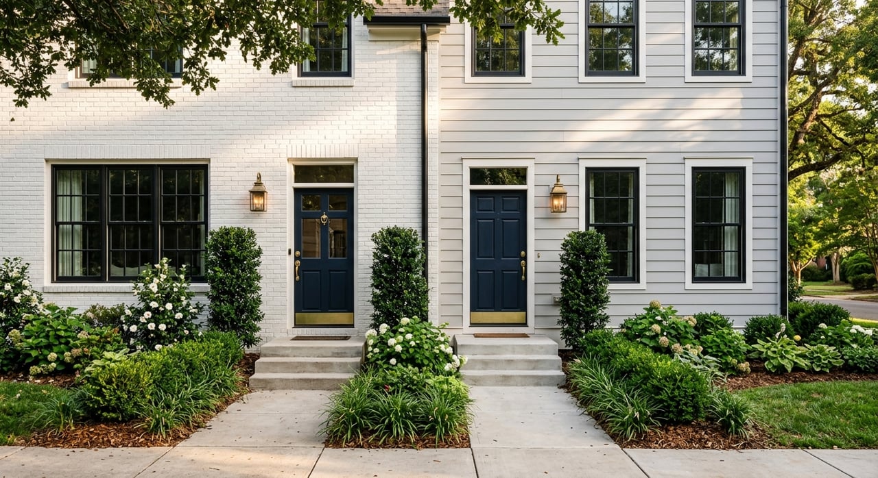
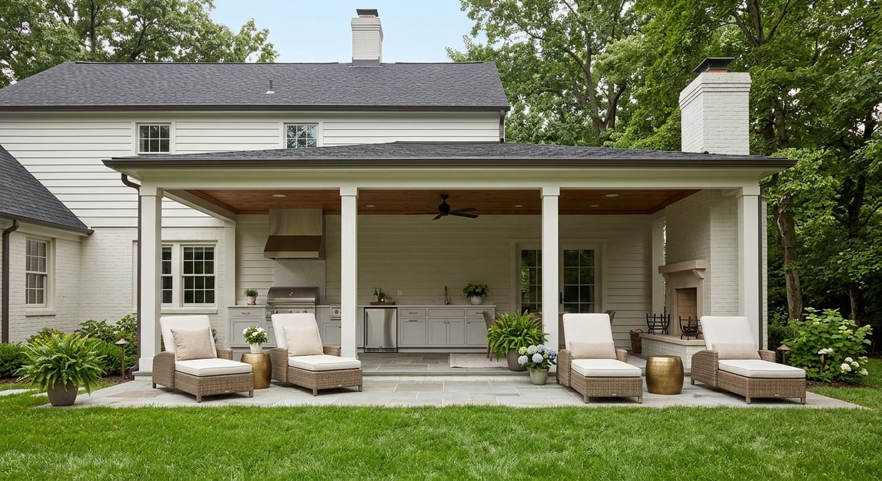
What kinds of homes fit this lifestyle
Outdoor living in Huntersville is not tied to just one housing type. The area’s housing story includes both larger single-family neighborhoods and smaller pockets of multifamily or mixed-use living.
According to UNC Charlotte’s 2023 North Mecklenburg Housing Needs Assessment summary, about 67% of homes in the region are single-family detached. The assessment also says the median home size is 2,378 square feet, most homes have 3 or 4 bedrooms, over half are less than 20 years old, and the median value in North Mecklenburg is $477,328.
That profile helps explain why Huntersville often appeals to buyers who want a more traditional suburban home base while staying close to trail and lake amenities.
Larger neighborhood options
The full housing assessment identifies larger-home neighborhoods in Huntersville that include lakefront developments and larger subdivisions such as Olmsted, Mirabella, Skybrook, The Pavilion, Walden, NorthStone Club, Vermillion, Birkdale, Winfield Creek, Winfield Forest, MacAulay, Lookout Point, and Hollins Point-Cashion Woods. You can find those names in the full North Mecklenburg housing report.
For many buyers, these areas support the classic Huntersville formula: a larger home, neighborhood setting, and reasonable access to outdoor destinations. If you want yard space and a suburban layout without giving up trail or lake access, this is often the strongest match.
Mixed-use and multifamily pockets
Huntersville also has a growing mix of apartment and mixed-use options near some trail corridors. The same UNC Charlotte assessment says that half of newly permitted units over the prior five years were in Huntersville, and about a third of those were planned as multifamily housing.
One of the clearest mixed-use examples is Birkdale Village, which North American Properties identifies as a mixed-use property at Sam Furr Road and Birkdale Commons Parkway with 320 units. Its pedestrian-oriented layout lines up well with the nearby McDowell Creek Greenway connection.
The town’s greenway master plan map overlays the network with communities such as Skybrook, Vermillion, NorthStone Club, MacAulay, Wynfield, Caldwell Station, Rosedale, Birkdale Village, Parkview Apartments, and Archstone at Northcross. While that map is not a formal housing classification, it does suggest that Huntersville’s outdoor network reaches both subdivision-style neighborhoods and apartment or mixed-use districts.
How to narrow your search
If you are trying to match a home search to your outdoor priorities, start with your version of access. Not everyone means the same thing when they say they want an active lifestyle.
A few useful questions to ask are:
- Do you want frequent boat access on Lake Norman?
- Do you prefer paddling and preserve settings over larger lake activity?
- Would you use a paved greenway for walking, biking, or reaching nearby shops?
- Do you want a larger single-family neighborhood or a more connected mixed-use setting?
Your answers can quickly narrow the map. In Huntersville, the best fit often comes down to whether you want to live nearest to launch points, trail corridors, or a blend of both.
If you are comparing neighborhoods, this is where local guidance can make the process easier. A home may look like a match on paper, but its real lifestyle value often depends on how close it is to the outdoor access points you would actually use.
If you are planning a move and want help finding the right fit in Huntersville, Lochmoor Realty offers personalized buyer and seller guidance with a local, relationship-first approach.
FAQs
Which lake access points are most usable from Huntersville?
- The main Huntersville option is Blythe Landing Park on Lake Norman, while Latta Nature Preserve offers paddling access on Mountain Island Lake and Ramsey Creek Beach in Cornelius is a nearby north Mecklenburg waterfront amenity.
Which Huntersville greenway is best for daily errands and neighborhood access?
- The Vine is the most in-town, neighborhood-scaled route because it connects downtown, Holbrook Park, Huntersville Elementary School, US 21 commercial destinations, and a sidewalk link to Huntersville Square Shopping Center.
Which Huntersville trail best connects homes and shopping?
- McDowell Creek Greenway is one of the clearest examples because it links residential areas with Birkdale Village, Robbins Park, the Westmoreland Athletic Complex, and Magnolia Estates Drive.
What type of housing is common in Huntersville for an outdoor lifestyle?
- The strongest fit is often either a larger single-family neighborhood with convenient access to Lake Norman or a mixed-use or multifamily setting near Birkdale and the connected greenway network.
Is the Huntersville greenway network still expanding?
- Yes. Mecklenburg County reported new main trail and connecting trail construction between Gilead Road and Chilgrove Lane as part of a larger network intended to connect neighborhoods, shopping, and other amenities.